
DATA VANDALS · TOOL · FIELD TRIP
Old Maps of NYC: stand still and move through time
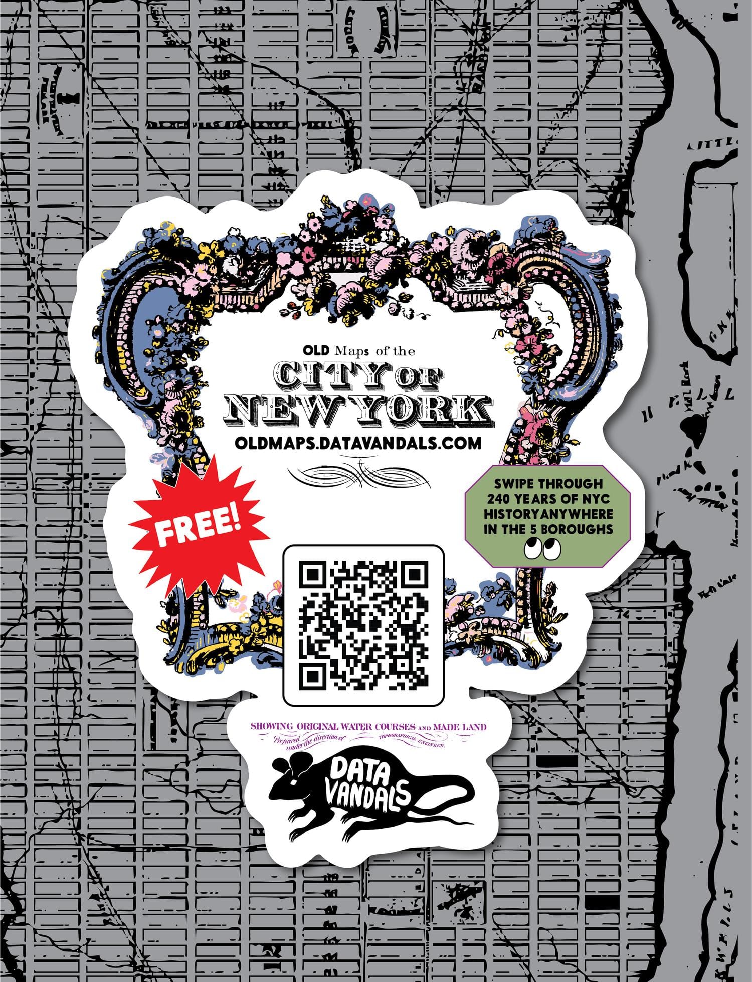
Historical map archives are magnificent and almost unusable: you arrive at a scan of a place you have to identify yourself, at a scale you have to guess. So we flipped it. Old Maps of NYC asks where you’re standing, centers thirty georeferenced maps on that exact spot, and lets you swipe back and forth through 238 years. It features the 1782 British Headquarters manuscript, the 1865 Viele water map, the tenement-house atlases and 1920s aerial photographs, all the way up to the 2020 census as a dot density map.
Every position and year is a shareable frame, so what people post is their own neighborhood. It works in all five boroughs. Built on the David Rumsey Collection, the Library of Congress, Map Warper and Allmaps.